Creating a coordinate label |


|
|
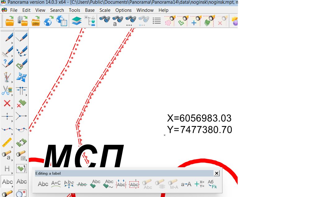
A description of objects of this type is contained in the service.rsc classifier in the Coordinate label layer: Label - a Rectangular coordinates, Label - a Geodetic coordinates on WGS-84, Label - a Geodetic coordinates in SGS85.11. After starting the mode of creating a label on a map it is possible to set by right-click in the pop-up menu the view of the created object - it is either a label with rectangular coordinates in meters XY, or a label with geodetic coordinates in the format Degrees, minutes, seconds. In the mode of creating a label, it is possible to dynamically change the settings of the label, which is created on the map next to the cursor. By right-clicking on the Set font parameters menu item, the font editing dialog is called, in which you can change the color, height, name and other properties of the font. The new font values are stored in the semantics of the Coordinate label. To place a label on the map at the cursor location it is necessary to click the left mouse button. Coordinate label object is saved on a separate user map with the name Coordinate Labels. The map is automatically added to the main open document and has the type of Geographic Latitude/Longitude on the «sphere».
|