Addition in the document of the files from a directory |


|
|
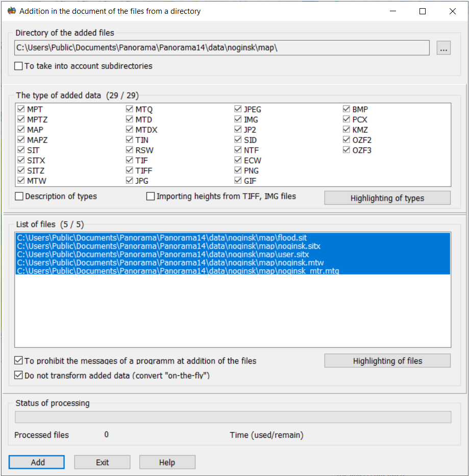
The mode is intended for addition of data of one-type, which are being in the specified directory into the document. To search for added data in subdirectories, use the Consider subdirectories element. The type of added data is indicated in the list of the same name. The following data types can be added to a document: - projects of the terrain maps MPT and MPTZ; - terrain maps MAP, MAPZ; - user maps SIT, SITX, SITZ; - matrix of heights MTW; - matrices of layers MTL; - matrices of qualities MTQ; - MTD - models; - TIN - models; - RSW raster maps; - imported bitmap images from TIFF, JPEG, IMG, PNG, GIF, BMP, PCX, KMZ, OZF2, OZF3 formats.
The directory with data is specified by means of the button "…". Then the program scans the specified catalogue onto presence of files of the certain type and fills the list in group: "List of added files". Those files will be added only near to which name the ticks are set. At addition of data into document GIS-kernel can give the message. For example: "A raster map is outside of works region". To forbid sending of messages by GIS-kernel at addition of data into the document put a tick: "To prohibit the messages of a kernel at addition of the files". At that it is important to remember, that the message about an error of opening of a file in this case too will not be. When the "Importing heights from TIFF, IMG files" element is enabled, data from TIFF (GeoTIFF), IMG, KMZ files will be imported into the MTW height matrix. After an execution of procedure of data addition the program gives the message about successful (or not so) finishing of process.
|