GIS Panorama |


|
|
Geoinformation system «Panorama» (GIS «Panorama x64») (hereinafter – GIS Panorama) is a universal system designed to collect spatial data, management of spatial databases, creating and updating digital maps and plans, establishment of information systems for various purposes. GIS Panorama is a client of the network system for processing spatial data. Servers are spatial data GIS Server, web services publishing spatial data (GIS WebService) and monitoring of databases (PostgreSQL, MSSQL server, Oracle, and spatial), operating under protocols OGC.
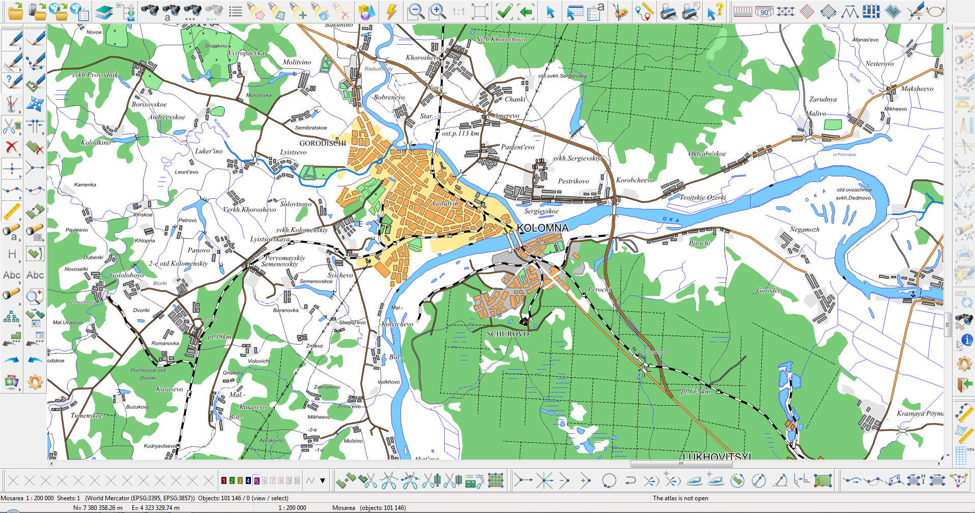
General view of the GIS with several open tasks:
GIS Panorama includes the professional tools for creating and updating digital topographic maps and plans of towns and cities, remote sensing data processing, thematic mapping and analysis, preparation of maps for publication, generalization maps to create maps of smaller scales, building 3D models, complex 3D analysis, complex of geodetic and land management tasks, the complex geological tasks, navigation and many other tasks. Database of digital vector maps has hierarchical structure. The lower level stores information about individual map features. Objects can be united in groups, layers and sheets of maps. A set of maps with the same scale and view is a work area – a separate database of digital maps. The description of the individual object consists of metric data (coordinates on the Earth) and semantic data (object properties), including a unique object identifier that provides a logical link with external databases. The size of the individual database for digital vector maps can be several terabytes (TB). The database update is performed in run mode of the transaction that provides failure recovery and rollback to any number of steps back. The management system supports high performance algorithm of data indexing that provides the maximum speed of the search and display of map features on standard hardware. The management interface of digital maps allows to query and to modify the description of individual objects or multiple, selected according to a given criterion, and displaying maps with change of scale, structure and displayed data format. The system is opened to users – it supports various formats of exchange. It is provided by configuring maps classifiers, libraries of symbols. It supports a variety of coordinate systems and map projections. Many of the programs presented as source code in the SDK kit.
|