Add photos |


|
|
Execution order
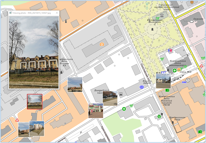
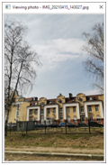
- Start the mode through the main menu File/Add/Photos. - Choose the path to the directory with photos. After execution of this mode to the open document the map containing point objects in the form of photos will be added. Into these objects the link to an initial file will be written. If this map with photos exists, before loading, the question will be asked: «Add the map?». When you click on the «Yes» button, new photos will be added to the existing photos of the map, otherwise - the existing photos of the map will be replaced with new photos. If photos have no coordinate tagging to the terrain they will not be added. The name of the map with photographs is formed from the name of the open document and the postfix «_photo». For example, noginsk_photo.sitx. This map will be located next to the main document and automatically added to the list of maps. For more detailed viewing a photo it is necessary to choose object «photo» on a map by means of a key combination Ctrl+Shift+LMB. As a result of the selection, a window with an enlarged image of the photo will appear. When you resize the window, the photo image is scaled automatically. If several objects «photo» are located in one point, then they can be viewed by successive clicking the LMB at the point with pressed Ctrl+Shift keys.
An automatic clustering algorithm is used to group photos on a map when zooming.
|