Saving data to an MPT project |


|
|
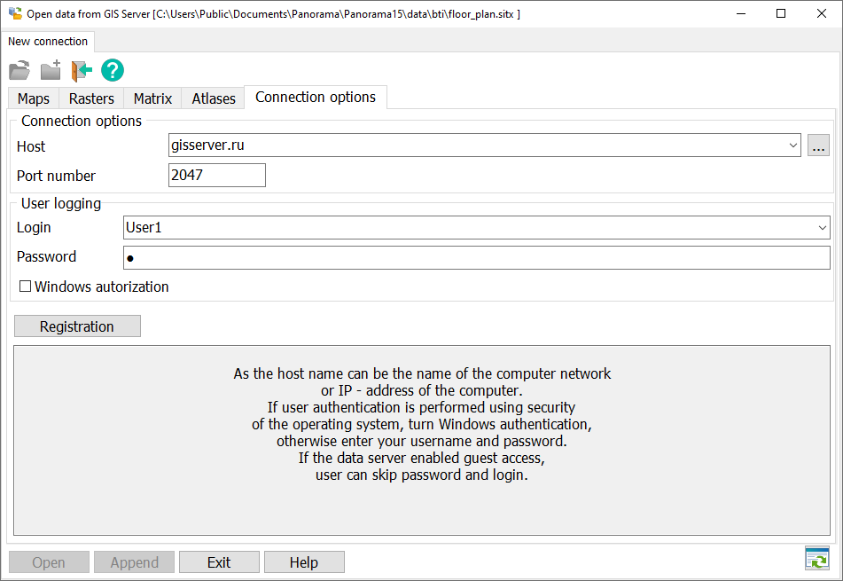
An example of creating a data project file from GIS Server using the example of gisserver.ru. It is necessary to connect to the GIS Server (for example gisserver.ru, login User1 password 1).
GIS Server connection window:
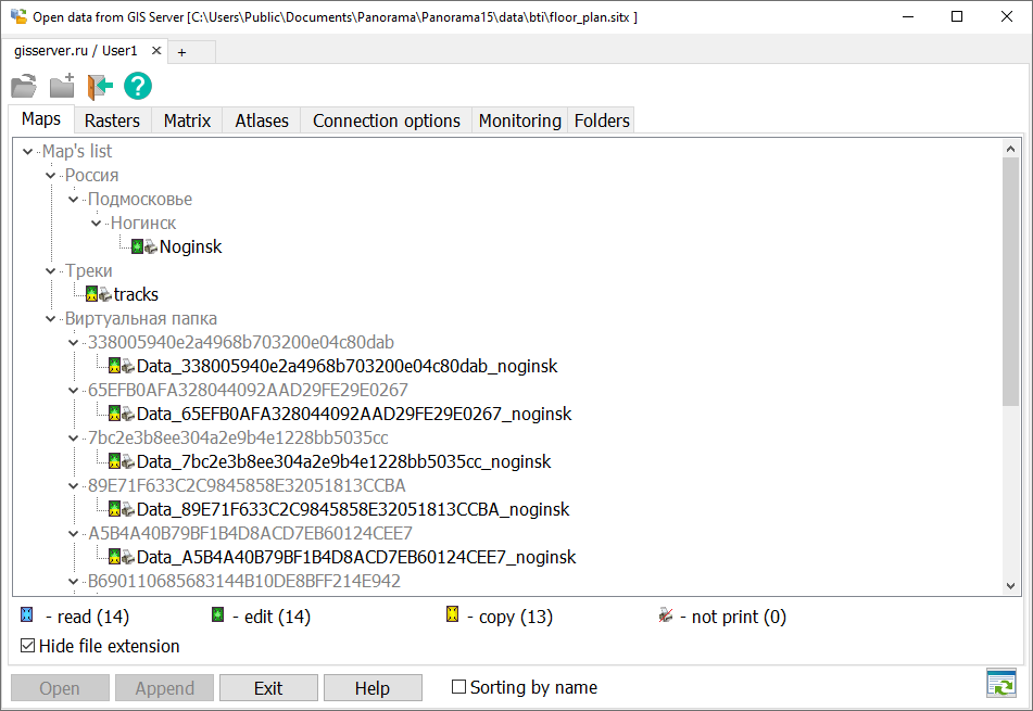
In the data list window, select the Noginsk map in the list and click «Open». In the data list, select the tracks map and click «Add» and close the window for connecting to the GIS Server.
Window with a list of data on the GIS Server:
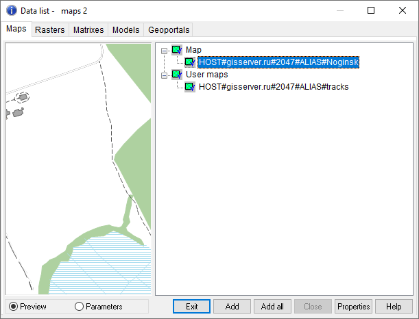
By clicking on the «Data list» button you can view the list of open data.
The window of the list of data opened in GIS Panorama:
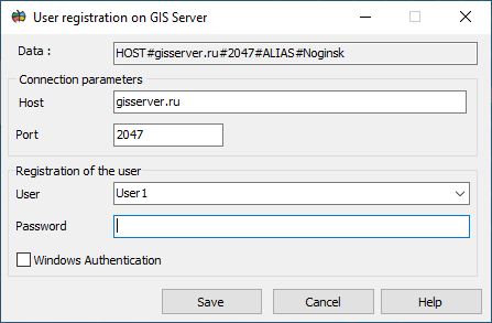
To form a file of MPT project with previously opened maps of Noginsk and tracks it is necessary to go to «File» - «Save as» - select the file type mpt and perform saving. When opening this MPT project there will be a window «Connect to GIS Server».
Window of opening the mpt project with data located on the GIS Server:
When you enter the password, the map of Noginsk and tracks from the GIS Server will be opened.
|