Description of ground area |


|
|
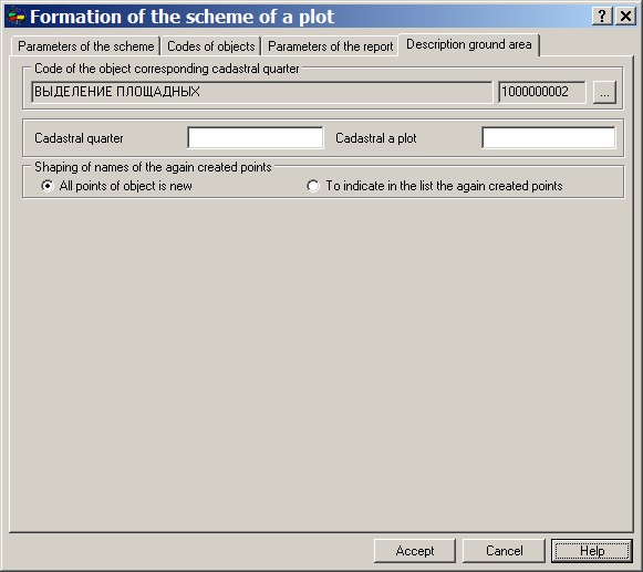
On Description of ground area page there is specified, what code of object corresponds to cadastral quarter, and also the information on cadastral numbers of quarter and a plot are entered.
The given information is used by the program as follows. Polygon object CADASTRAL QUARTER is searched inside of which the site is placed and a rectangle is defined corresponding to dimensions of quarter. The received rectangle is broken onto 10 on 10 parts (blocks), blocks are called (on axis Y - A, B, C, D..., on axis X - 0, 1, 2, 3...) also it is defined into which part (parts) the site is placed. Received scheme it is framed by alphanumeric indexes of blocks in which the site is located.
|