Cutting borders (isolines and borders)

Print Previous page Top page Next page

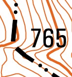
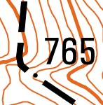
This procedure is intended to improve the quality of the appearance of conventional symbols on a printed map: Additional isolines and Borders of administrative territories. Processing of additional isolines and borders of administrative territories is performed using the mode: Tools - Preparation for printing – Map processing by scenario.


Type of processing

The original view of the signs

View of signs after processing

Cutting additional and auxiliary isolines by the bergstrichs (after processing, the bergstrichs are in the center of the isoline hachure)

Cutting the administrative borders passing through the elevation marks (after processing, the contours of borders are drawn with an offset from the elevation mark)