Data connection with the geoportal |


|
|
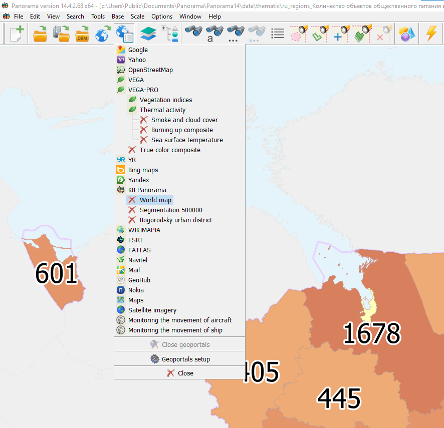
This dialogue is intended for connection with services: - WMS version 1.3.0 and above on the basis of standard OGS Web Map Service Interface (OGC 03-109r1): - VEGA-PRO - WMTS version 1.0.0 on the basis of standard OGC Web Map Tile Service (OGC 07-057r7) - TMS - Tile Map Service: - Yahoo! - OpenStreetMap - Virtual Earth - Yandex This task allows to load spatial data in the form of a graphic image and the associated metadata. Use of standards of WMS, WMTS, TMS provides integrated access for search, exchange and grantings of geospatial data, creates opportunities for interaction between GIS applications and Web-services. The graphic information chosen in dialog can be displayed and combined together with vector maps, matrixes of heights, raster data and other spatial information.
Work order for obtaining spatial information: 1. In dialog in the field «Server URL» to specify URL address of a server, for example: http://gisserver.info/GISWebServiceSE/service.php 2. Press onto «Connect» button. 3. To choose necessary data for loading, having specified a layer and having pressed onto «Add» button. To delete a layer from loading, it is necessary to press onto «Remove» button. 4. To press button «Open («Add» or«Install») for starting the process of loading and displaying the spatial information from a server.
|