Vector sign editing |


|
|
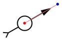
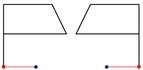
«Vector sign» view is used to display both off-scale point and vector map objects. The table shows different types of signs.
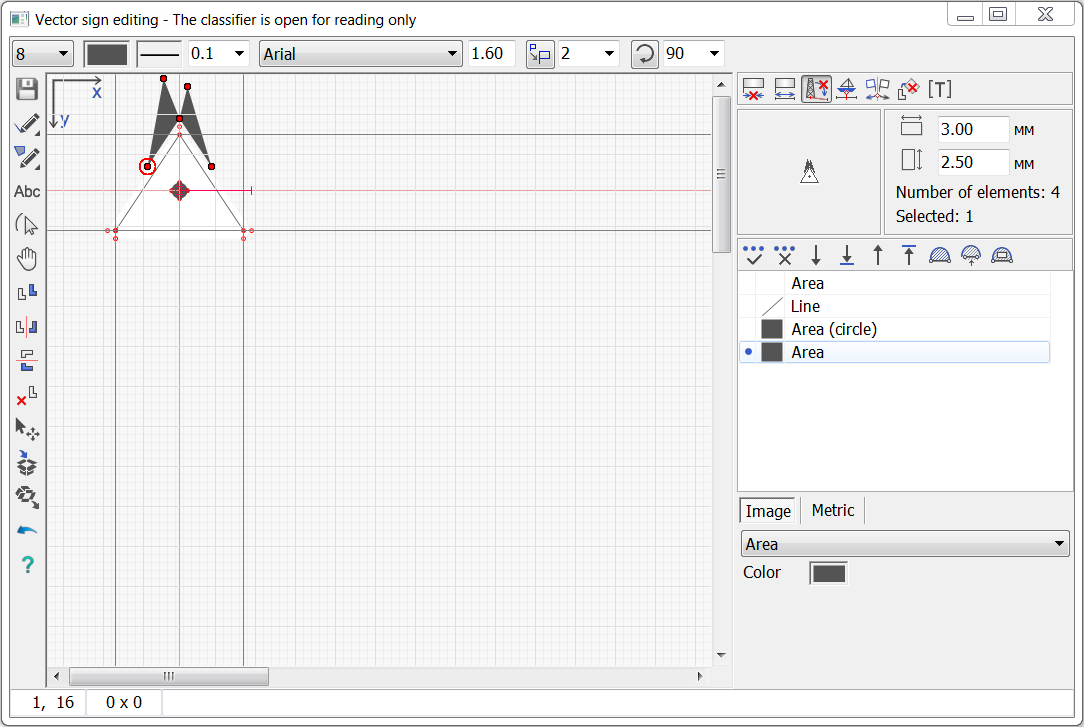
Vector signs are formed by means of tools of creating labels, linear and areal contours. Linear and areal contours are drawn in the form of simple shapes: rectangle, circle, ellipse, arc, sector, polyline, Bezier curve. The image of a vector sign can consist of one or more shapes (elements). The creation and editing of vector signs is performed in a special dialog. The main part of the dialog is occupied by the field of editing the image of the sign.
The left part of the dialog contains a line of basic sign editing tools. The right part of the dialog contains the panel of signs of displaying the sign, the image of the sign at the base map scale, the sizes of selected part of the sign in millimeters, additional tools of editing the sign, and a table of elements of the sign. Under the table the tabs of editing image parameters and element metrics are located. At a choice of one or several elements of the «Line» type the parameters «Color» and «Thickness» are available for editing (in millimeters). When selecting one or several elements of different type («Line», «Area», «Text») the common parameter «Color» is available. Text parameters are available at a choice of one element «Text». Fields of editing coordinates of the metrics are available only at a choice of one element of a sign. The top panel contains fields for entering parameters for creating and editing sign elements. The bottom panel contains a field for displaying the current coordinates of the mouse pointer in the sign editing field (horizontally, vertically), a field for showing the difference between the current and previous point of drawing the contour (horizontal difference, vertical difference), a field for explanatory text.
|