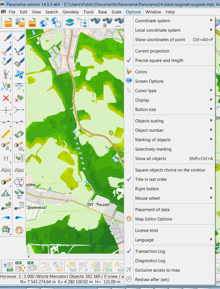
Options menu |


|
|
Coordinate system Installs a coordinate system of a digital map. 1. Rectangular. 2. Geodetic (Krasovsky 1942 spheroid). 3. Geodetic (World WGS 1984 spheroid). 4. Geodetic (Earth Parameters 90.02, GLONASS).
Local coordinate system
Show coordinates of point
Current projection
Precise square and length Calculation of lengths, distances and areas Colors Screen options To set scale and size for image Cursor type Small cross cursor/Large cross cursor/Arrow
Display Tips Display a pop-up message with information about an object Inform window Display a pop-up message about the completed operation
Button size
Objects scaling
Object number Format «XXXXX / XXXXX» Format «XXXXXXXXXX»
Marking of objects By color By inversion
Selectively marking
Square objects choice on the contour Square objects choice on the contour
Title in last order Select TITLE on the map in last order
Skip design objects Sets, when selecting objects, the omission of objects that have the «Design objects» option («tick») enabled in the Classifier Editor in the «Others» tab
Right button
Mouse wheel Moving and scaling Only scaling
Clicking the mouse wheel Selecting and moving Only moving
Placement of data Editor Options
License kind
Language To set user-interface language (English, Russian)
Map synchronization Synchronization of moving of maps in all windows
Transaction log
Diagnostics log
Exclusive access to map
Redraw after (sec)
|